AGRICULTURE
GNSS signals are broadcast from satellites and travel thousands of kilometres through Earth’s atmosphere to reach user equipment. While they travel, these signals can be affected by ionospheric activity, or scintillation, and cause positioning errors or outright failure of positioning systems. How can farmers build their system to withstand this interference and continue working?
Below we will explain what the ionosphere is, how it affects GNSS signals, and what users can do to strengthen their systems against positioning errors caused by scintillation.
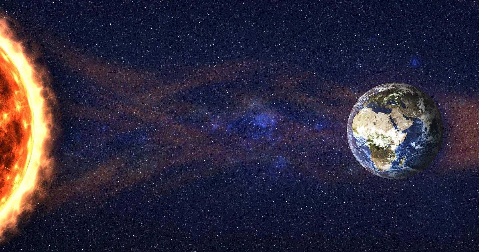
The ionosphere is one layer of Earth’s atmosphere found between 50 to 1,000 kilometres above Earth's surface. There are high concentrations of ions and free electrons in this layer that react to the Sun’s radiation.
When there are periods of high solar activity like in a solar flare, the density of the ionosphere changes and fluctuates temporarily. These fluctuations can occur over a broad region or as small an area of 100 kilometres. Ionosphere density changes like these delay GNSS signals so it takes longer for them to arrive to user equipment, or may completely overwhelm the signals that they are no longer usable..
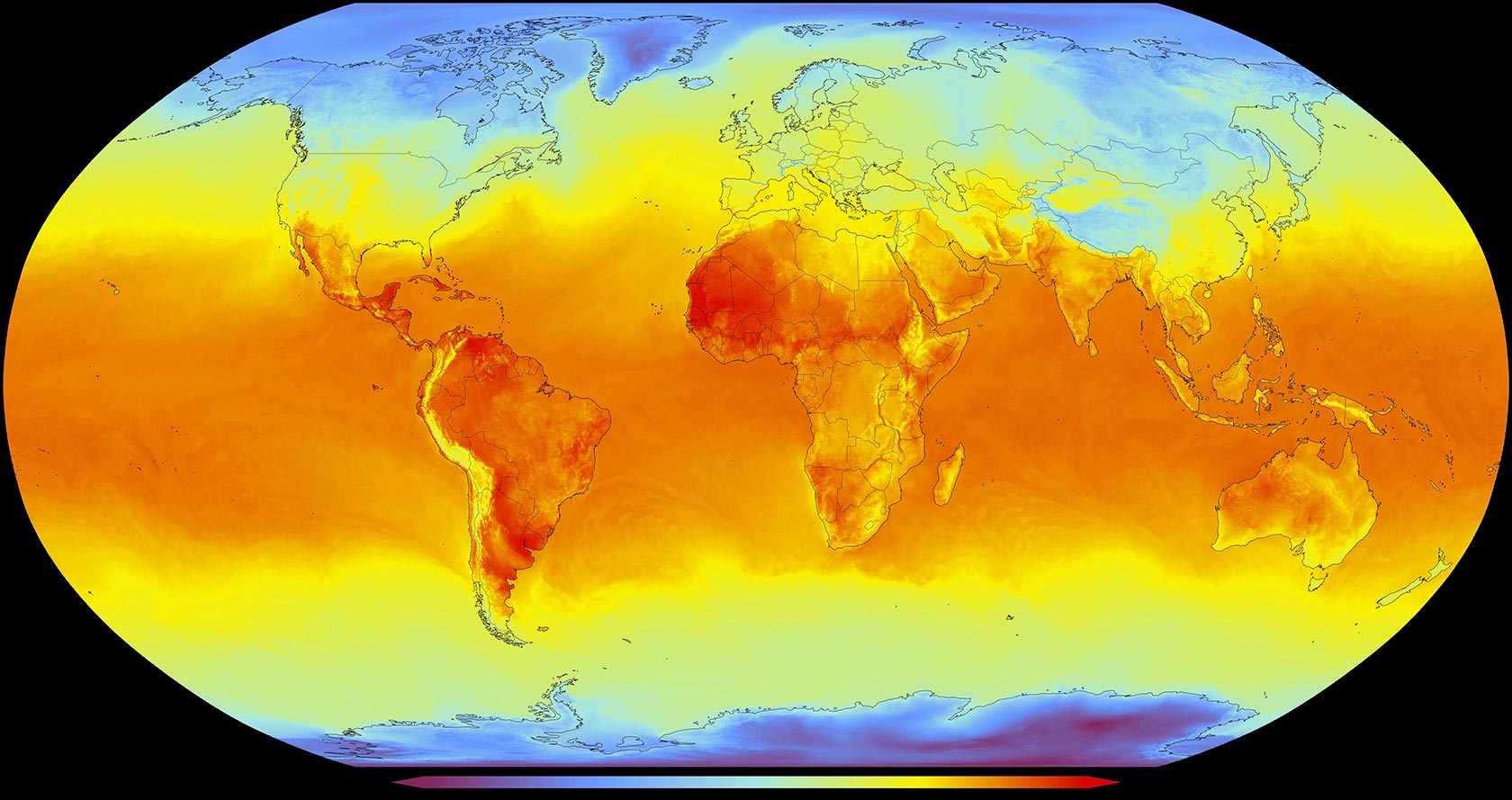
Changes in the ionosphere’s density, called scintillation, is unpredictable. Scintillation can occur worldwide, but is often concentrated along the geomagnetic equator in areas like South America and Southeast Asia, or in high latitudes.
Scintillation can occur daily, frequently in the evenings, and also increases during spring and fall equinoxes. These changes are also tied to the Sun’s own cycles that occur every 11 years – as we enter solar cycle 25, we are seeing an increase of solar activity that result in scintillation being stronger and more frequent. Regardless of the cause, worldwide users of GNSS are reporting increased positioning challenges resulting from ionospheric scintillation.
Satellite signals travel through the ionosphere to antennas on Earth. When scintillation is present, GNSS receivers may have intermittent reception of signals, loss of precision resulting in position jumps and overall unavailability of positioning.
When operations rely on GNSS positioning, scintillation can result in significant working delays, hazardous risks and downtime.
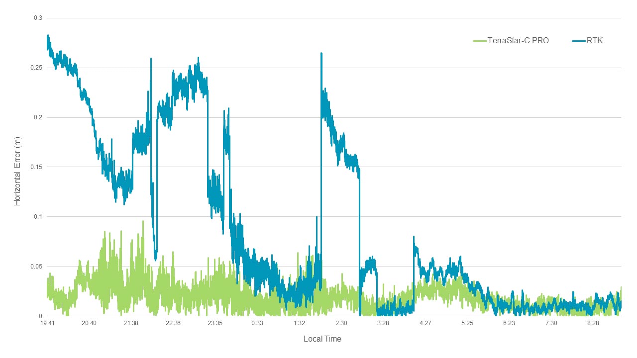
For operations that must continue 24/7/365, or operate during periods when scintillation is more frequent, the interference effects can cause large positioning errors, like those seen in the above graph.
Precision agriculture applications rely on GNSS positioning to maximise yields, resources and inputs. Crop-specific inputs, like seed, fertilizer or agrichemicals, can be placed in specific locations for optimal efficiency and lower environmental impact. When GNSS is disrupted by scintillation – a frequent event for farms in Brazil, for example – operations come to a halt waiting for high accuracy and reliable positioning to resume, causing costly downtime and inefficient use of resources. In an industry that is seasonal and has very limited time windows for each part of the agricultural lifecycle, this can be highly detrimental. As a result, agriculture operations in regions with high scintillation trend toward using a PPP solution as it typically performs better than RTK during scintillation, as seen in the above graph.
While there are different methods to reduce the impact of ionospheric errors, leveraging a combination of different solutions creates the most redundant system.
As the ionosphere becomes more active in solar cycle 25, it’s vital to understand these effects in order to mitigate the impact on applications and end-users. There are many resources available to learn about scintillation, other effects that cause positioning errors, and how to build system resiliency against them.
Continue learning about space weather and its impact on GNSS in this webinar from Hexagon’s Autonomy & Positioning division and Inside GNSS.